Earth observation
EO Unlocked
User-centric Earth observation discovery interface built to model virtual constellations and interoperability opportunities across commercial and civil assets through large-scale metadata synthesis.
Live demoGrowing up in the beautiful US Virgin Islands, an astrophotographer on a healthy diet of Isaac Asimov and Arthur C. Clarke, I spent my nights looking skyward. When my home was ravaged by not one, but two hurricanes of near-biblical proportions, I felt an obligation to join the battle for our planet’s future. I found my calling in space.
With space as my anchor, I’m curious about the big ideas that could change how we live in, build upon, move through, and understand our world. I’m most energized by the unexpected creativity that emerges where seemingly disparate domains meet, and I enjoy translating between them to connect ideas, people, and new possibilities along the way. This portfolio brings together some of the projects that curiosity has led me to build and explore.
I hope you enjoy!
From growing up on St. Thomas and attending high school in Miami to Cornell, NASA, an Aerospace internship, graduate school at The International Space University in Strasbourg, venture scouting in Tel Aviv, and back to Aerospace in Los Angeles.
Earth observation
User-centric Earth observation discovery interface built to model virtual constellations and interoperability opportunities across commercial and civil assets through large-scale metadata synthesis.
Live demo
Applied AI
A low-cost hazard detection system for cyclists, designed to improve situational awareness without the need for expensive RADAR-based hardware.
Space systems
Simulation of on-orbit free-flying light sail deployment from the Cornell Alpha CubeSat, developed and choreographed in Unreal Engine 4.
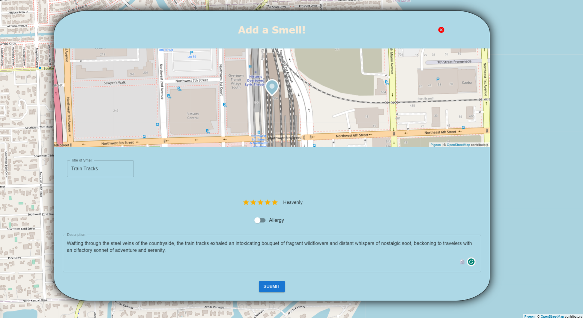
Geospatial
Track smells around your area. Smell something stinky? Report it! Smell something heavenly and want others to experience it? Enlighten your friends. In a world where smells are our most dear sense, Aromap is your guiding light.
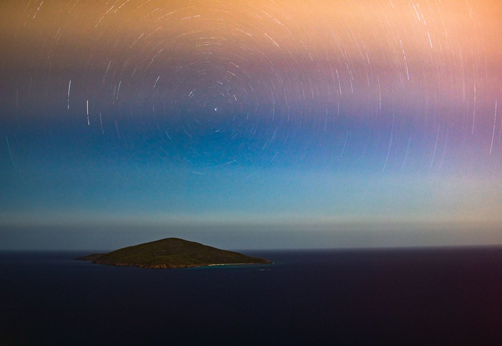
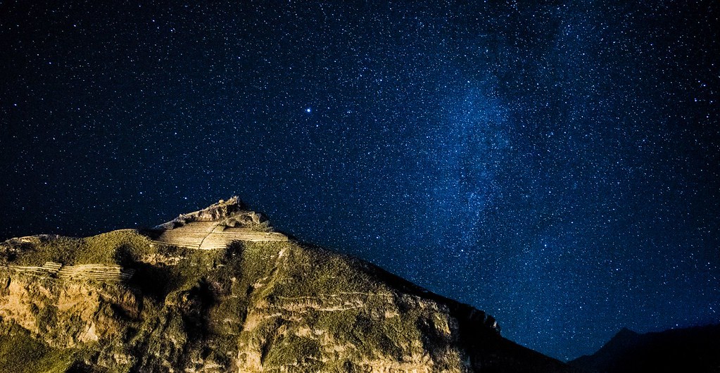
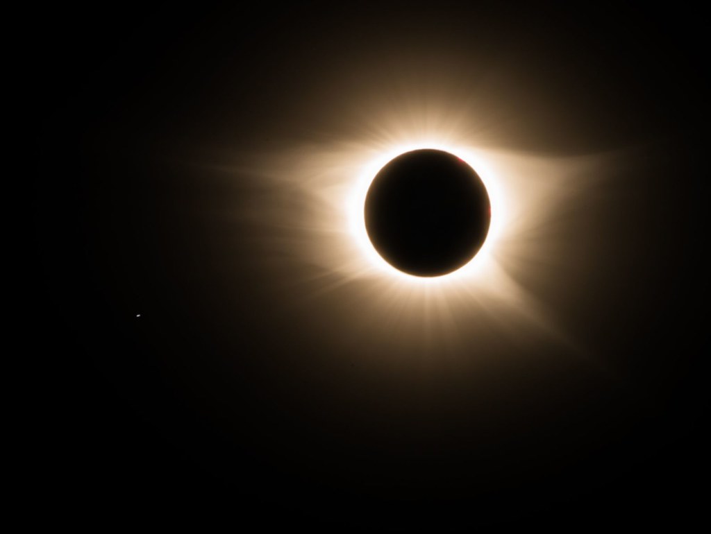
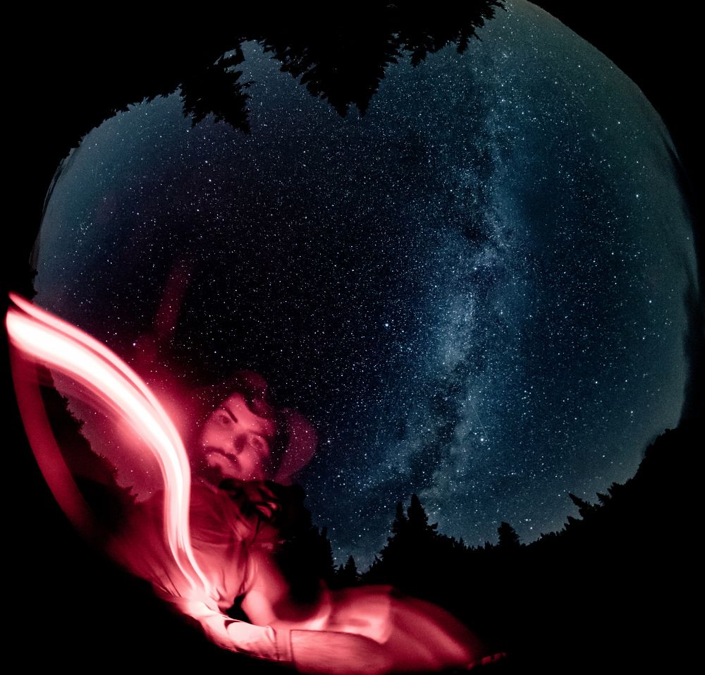
Photography
Night-sky photography from my travels, capturing eclipses, star fields, and the Milky Way across remote landscapes.